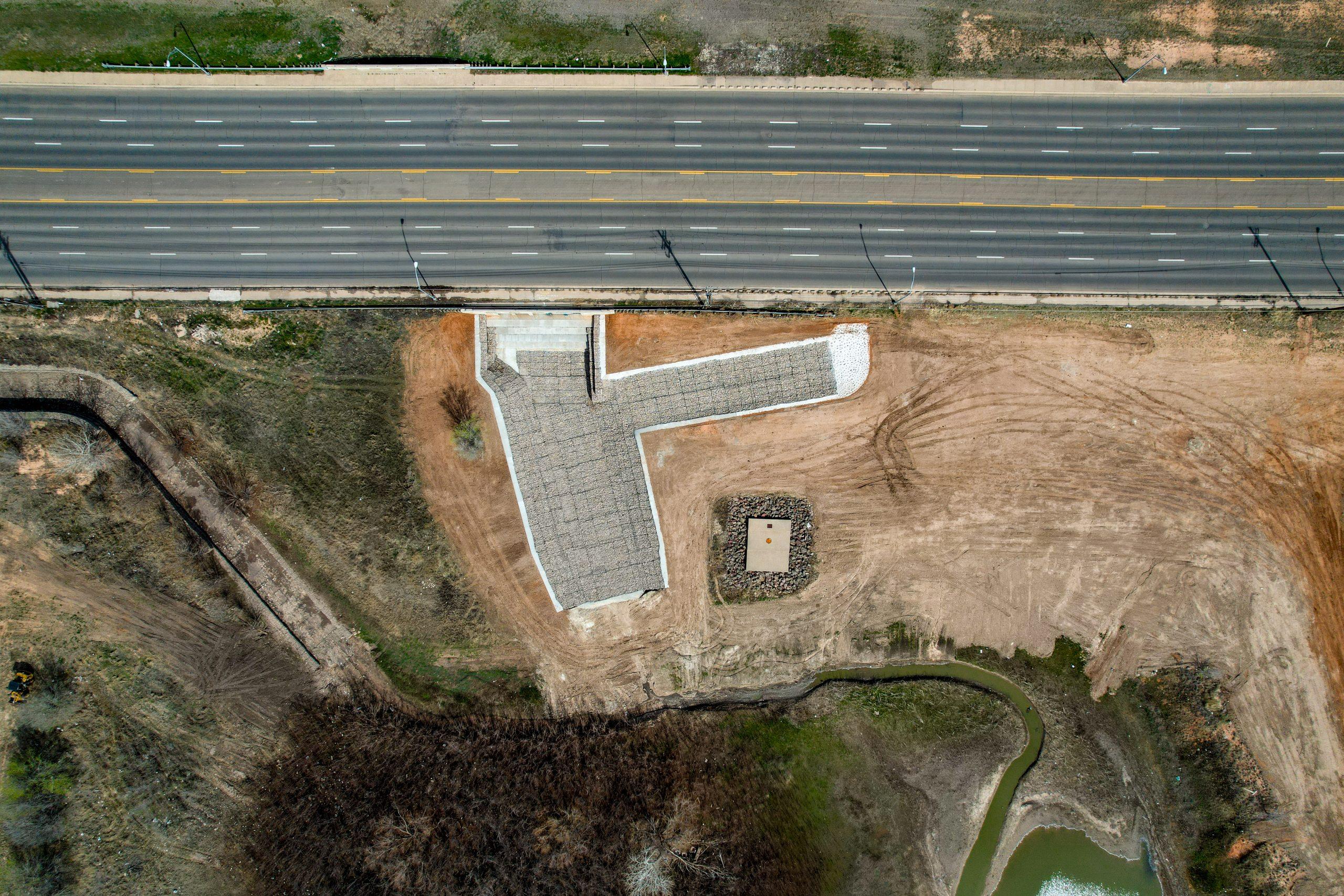
Tracing the History of Drone Technology
Drones—once experimental aircraft or military-only tools—have become powerful, versatile systems used in nearly every industry. By looking at the history and evolution of drone technology, we gain insight into how UAVs shaped modern society and how they’ll continue to transform the future.
At South Plains Aerial Imaging, we bring this cutting-edge technology to clients across Lubbock, the Texas Panhandle, and the Permian Basin, offering professional drone services for inspections, mapping, aerial photography, and more.
Early Military Origins of Drones
-
World War I (1917–1918): Britain’s Aerial Target and the U.S. Kettering Bug represented the earliest pilotless aircraft experiments.
-
Interwar Period (1920s–1930s): The Royal Navy tested the Larynx cruise missile, while other nations explored target drones.
-
World War II: The U.S. converted bombers for unmanned missions and developed drones like the Culver PQ-8 and TDN-1.
While mostly experimental, these early UAVs laid the groundwork for today’s drone industry.
Post-War Drone Advancements
-
1946–1950s: Reconnaissance drones, including modified B-17s, monitored nuclear testing.
-
Vietnam Era: Programs like Red Wagon produced the Ryan 147B and Firebee for long-range reconnaissance.
-
War on Terror (2000s): Armed drones such as the MQ-1 Predator and MQ-9 Reaper redefined surveillance and strike capabilities worldwide.
Rise of Commercial & Consumer Drone Use
The early 21st century saw drones move from the military into the hands of civilians:
-
Affordable quadcopters brought drones to hobbyists.
-
The DJI Mavic Pro (2016) made UAVs portable, compact, and powerful.
-
GPS integration, autonomous flight paths, and obstacle avoidance expanded both accessibility and functionality.
Modern Drone Applications Across Industries
Today, drones are indispensable across commercial sectors:
-
Agriculture: Precision farming, crop health analysis, and irrigation management.
-
Construction: Drone orthomosaic mapping, progress tracking, and inspections.
-
Infrastructure: Drone roof inspections and facade evaluations.
-
Photography & Cinematography: High-resolution aerial visuals for media and marketing.
-
Disaster Response & Conservation: Search and rescue, wildfire monitoring, and wildlife tracking.
The Future of Drone Technology
The next generation of UAVs will include:
-
AI and Machine Learning for autonomous decision-making.
-
Drone Swarms for coordinated response and surveillance.
-
Beyond Visual Line-of-Sight (BVLOS) operations for expanded coverage.
-
Advanced Sensors for precise data collection and enhanced safety.
Why Understanding Drone History Matters
From the Kettering Bug to today’s high-tech UAVs, drones have continually evolved into tools that improve safety, efficiency, and insight across industries.
At South Plains Aerial Imaging, we harness this innovation to deliver FAA-compliant drone services in Lubbock, TX, including roof inspections, mapping, and cinematic aerial imaging.
🚀 Elevate Your Perspective with Modern Drone Services
The story of drones isn’t just history—it’s a future you can be part of. Whether you need aerial photography, detailed mapping, or structural inspections, South Plains Aerial Imaging delivers trusted expertise across West Texas.
📍 Serving: Lubbock | Texas Panhandle | Permian Basin
📞 Call Today: 806-502-4365
🌐 Learn More: www.spairimaging.com

