Lubbock: A City Taking Flight
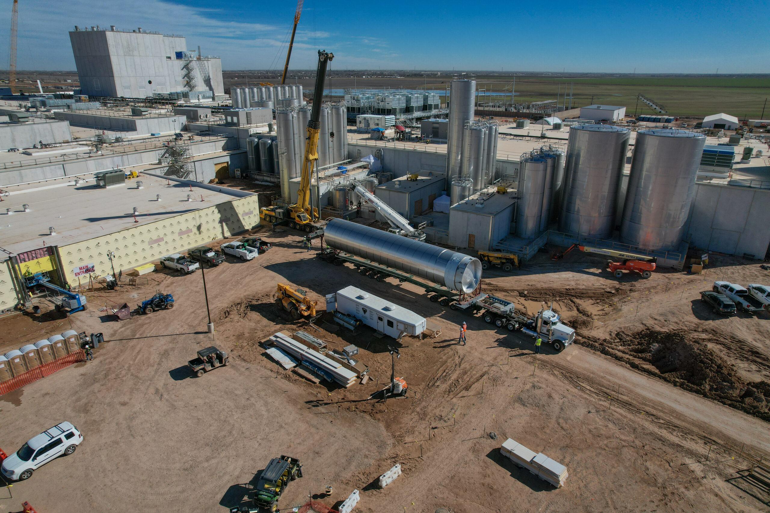
Lubbock, Texas, is experiencing remarkable growth — from expanding neighborhoods and modern commercial developments to revitalized downtown projects and new infrastructure. As the city continues to evolve, drone photography offers a powerful way to capture its transformation from above.
At South Plains Aerial Imaging, we take pride in documenting Lubbock’s progress through stunning aerial visuals. This highlights how the city’s landscape is changing. Whether it’s new construction, community events, or agricultural expansion, our aerial imagery provides a unique perspective that showcases Lubbock’s vibrant growth and spirit.
Lubbock’s Expanding Skyline
In recent years, Lubbock has seen a boom in both residential and commercial development. From South Lubbock’s new neighborhoods to the revitalization of the downtown district, growth is visible in every direction.
Drone photography allows us to track this expansion in real time. Aerial imagery captures the full scale of construction projects, infrastructure improvements, and urban design — offering developers, city planners, and residents a clear view of progress.
Unlike ground-level photography, aerial visuals tell a more complete story. They highlight how each project fits into the surrounding environment and how growth is shaping the city’s future.
Aerial Imaging for Urban Development
Drone imagery is becoming an essential tool for urban planners, architects, and developers across West Texas. By providing high-resolution overviews of construction zones and infrastructure layouts, drones help decision-makers visualize how new developments connect with existing structures.
At South Plains Aerial Imaging, our aerial mapping and progress documentation services assist in planning, zoning, and promotional efforts. Whether showcasing a new housing development, documenting a university expansion, or monitoring a major commercial project, we deliver data and visuals that drive smarter, faster decisions.
If you’d like to explore how aerial imagery enhances real estate and commercial marketing, check out our related blog:
👉 The Benefits of Aerial Photography and Videography for Commercial Property Promotion
Showcasing Lubbock’s Community Spirit
Beyond construction and growth, Lubbock thrives because of its people and culture. From festivals and parades to community gatherings and sporting events, drones offer a fresh, dynamic way to capture the energy of West Texas life.
Aerial footage brings out the excitement and scale of local events, helping promote tourism and community engagement.
For instance, our aerial photography has helped showcase iconic local attractions like the American Windmill Museum, preserving and promoting what makes Lubbock truly unique.
Preserving the Past, Capturing the Future
As Lubbock continues to grow, drone imagery doesn’t just document the present — it preserves it for future generations. High-resolution aerial photography serves as a visual archive of how our community evolves over time.
Years from now, today’s aerial footage will provide historical insight into how Lubbock expanded its borders, modernized its infrastructure, and embraced technological innovation. At South Plains Aerial Imaging, we’re proud to play a role in visually preserving that legacy.
Partner with South Plains Aerial Imaging
Whether you’re a developer, business owner, or community organization, South Plains Aerial Imaging provides professional drone services to capture Lubbock’s story from above. Our FAA Part 107-certified pilots combine experience, precision, and creativity to deliver powerful visuals that inform, inspire, and engage.
Let us help you see Lubbock from a new perspective — one that highlights growth, beauty, and opportunity across the South Plains!
📞 Phone: 806-502-4365
📧 Email: info@spairimaging.com
🌐 Website: www.spairimaging.com

