• Home
  • About Us
  • Services
    • Aerial Photography
    • Aerial Videography
    • Aerial Inspection
    • Aerial Mapping
  • Events
  • Blog
  • Contact Us
How Builders Use Drone Orthomosaic Mapping to Document Construction Progress

How Builders Use Drone Orthomosaic Mapping to Document Construction Progress

by Jonathan Lindley | Oct 21, 2025 | Drone Services, Industry Insights

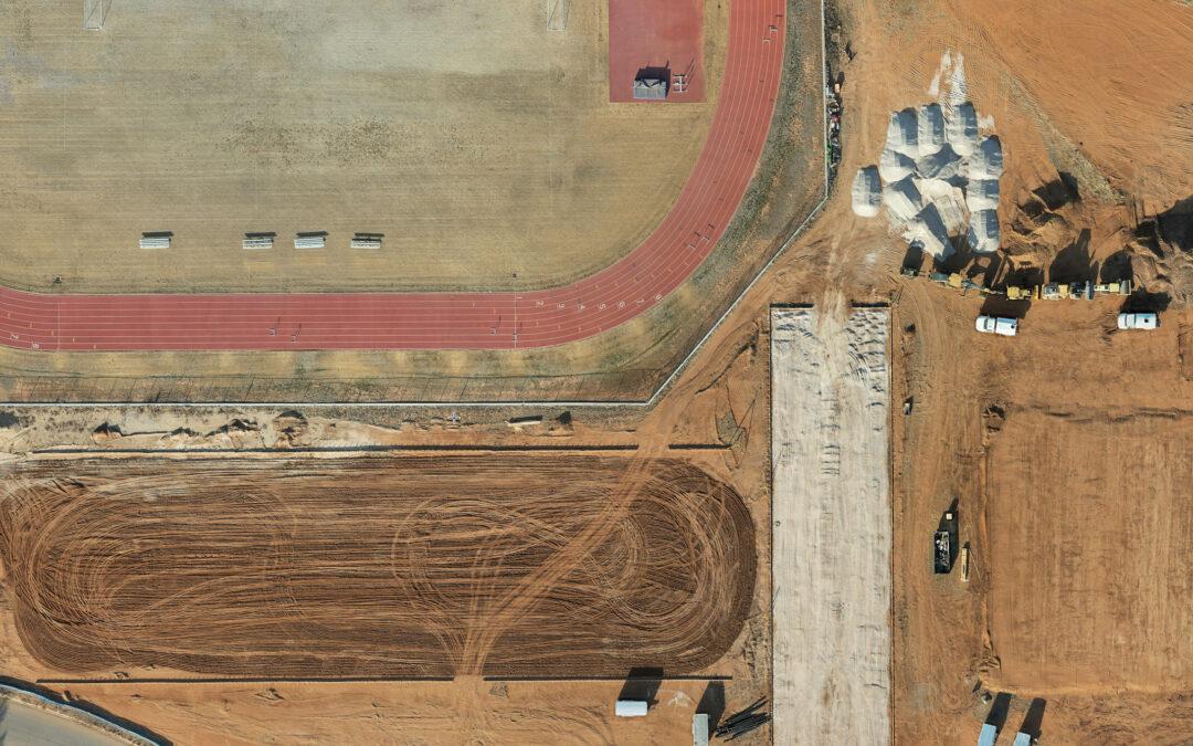
A Smarter Way to See Construction Progress For builders across West Texas, documenting construction progress accurately is essential. Clients, investors, and project managers all rely on consistent updates that show how a project is moving forward. Traditional...
  • Home
  • About Us
  • Services
  • Events
  • Blog
  • Contact Us
Copyright © 2022 South Plains Aerial Imaging - All Rights Reserved | Website Designed by Your Web Pro LLC