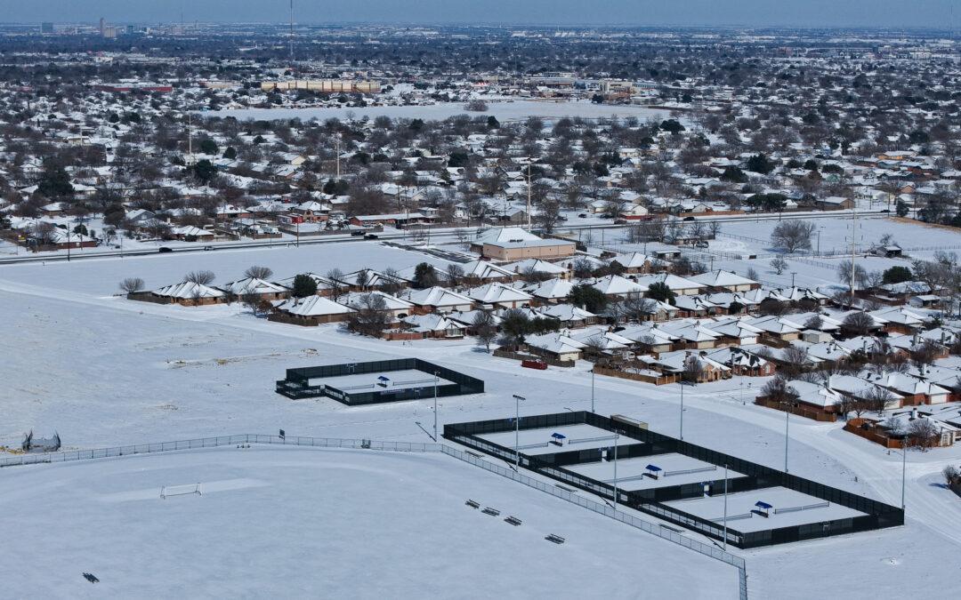
by Jonathan Lindley | Jan 26, 2026 | Client Resources, Drone Services
Post–Winter Storm Fern Drone Inspections for Roof, Industrial, and Aerial Assessments, are critical after severe winter weather impacts West Texas. Winter Storm Fern brought freezing temperatures, high winds, ice, and snow. These conditions can damage roofs,...
by Jonathan Lindley | Oct 21, 2025 | Drone Services, Industry Insights
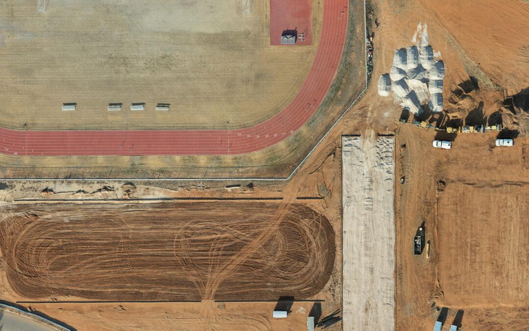
A Smarter Way to See Construction Progress For builders across West Texas, documenting construction progress accurately is essential. Clients, investors, and project managers all rely on consistent updates that show how a project is moving forward. Traditional...
by Jonathan Lindley | Aug 29, 2023 | Safety and Compliance
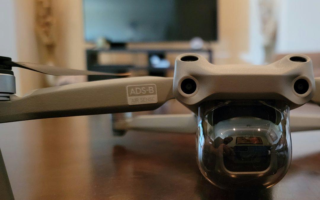
The Rise of Drones and the Need for Remote ID The rapid growth of drones has transformed industries like aerial photography, inspections, cinematography, agriculture, and search and rescue. However, with thousands of drones entering the skies, integrating them safely...
